Workshop Overview
- Lesson 1: Overview of Python & Notebooks in ArcGIS Pro
- Lesson 2: Accessing Imagery in the Cloud
- Lesson 3: A Practical Guide to ArcPy
- Lesson 4: Raster Analysis with ArcPy
- Lesson 5: Building Reproducible Workflows in ArcGIS Pro
Workshop Summary
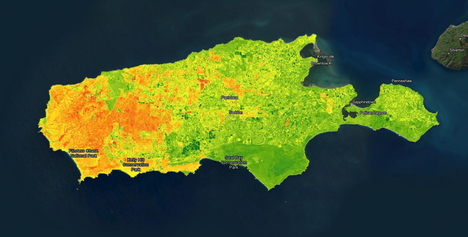
"The 2019-20 summer bushfires on Kangaroo Island were the largest in the island's recorded history and burnt more vegetation than any fire on the island." - Country Fire Service, South Australia
The Kangaroo Island bushfires were a tragic event that decimated the island's vegetation, wildlife, and human well-being. And unfortunately with the rapid progression of climate change, fire-related disasters are becoming more common and damaging across the globe. Scientists need a rapid way to assess the damages done by fire-related disasters using remote-sensing techniques. In this workshop, we'll explore automating common remote-sensing techniques and designing scientific workflows that are reproducible using ArcPy in ArcGIS Pro.
Additional Resources
Provide Feedback